Shau Kei Wan Road (traditional Chinese: 筲箕灣道; simplified Chinese: 筲箕湾道; pinyin: Shāojīwān Dào; Jyutping: saau1 gei1 waan1 dou6), formerly known as Shaukiwan Road, is the main road in Shau Kei Wan and Sai Wan Ho, Hong Kong.
History
The road was originally a main road lying on the north coast of Hong Kong Island from Causeway Bay to Shau Kei Wan, passing through North Point, Tsat Tsz Mui and Quarry Bay.
In 1935, the section between the east end of Causeway Road in Causeway Bay and Tai Kat Street near the East Gate of Taikoo Dockyard (present-day Taikoo Shing) was renamed to King's Road for the silver jubilee of the ascendent of George V of the United Kingdom. At the same time, the section from the junction of Causeway Road and King's Road to Power Street was renamed as Electric Road while the section between King's Road and Electric Road was renamed Tung Lo Wan Road.
Features
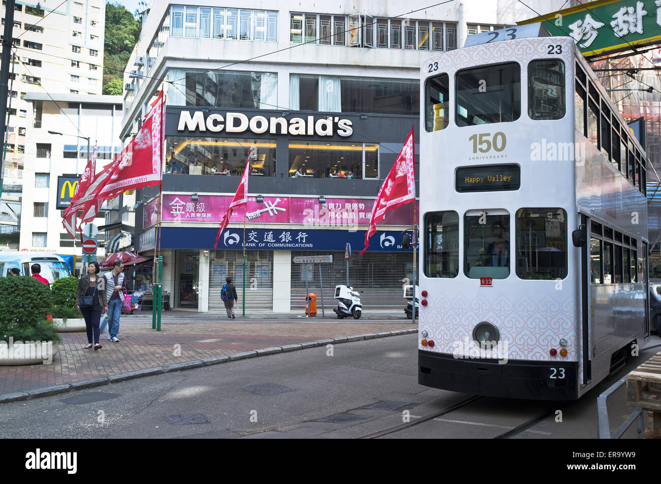
The road is shared by Hong Kong Tramways tram tracks.
Intersecting Streets
Roads are listed West to East.
- King's Road and Tai Koo Shing Road
- Tai Cheong Street
- Tai Foo Street
- Tai Hong Street and Tai Lok Street
- Tai Ning Street
- Tai On Street and Shing On Street - Sai Wan Ho Station is located here.
- Holy Cross Path
- Hoi Ning Street
- Hoi Lee Street
- Hoi An Street
- Hoi Foo Street and Hing Man Street
- Aldrich Bay Road
- Sun Sing Street
- Nam Hong Street
- Nam On Lane
- Aldrich Street
- Chai Wan Road
- Factory Street and Shau Kei Wan Main Street East
See also
- List of streets and roads in Hong Kong
References
External links
- Google Maps of Shau Kei Wan Road